top of page

WHAT WE DO
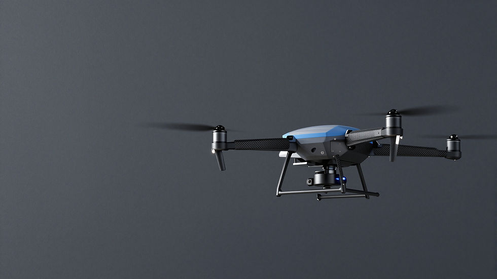
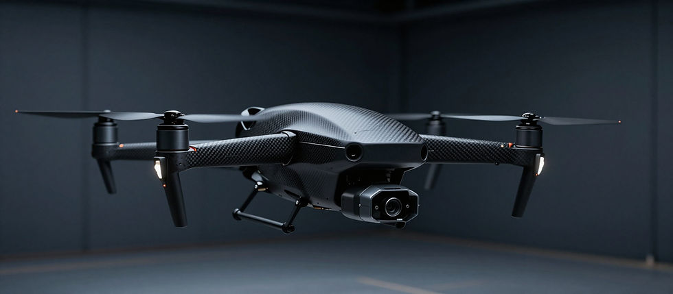
Aerial services built for the Tri-State
From mapping a construction site to finding a lost pet after dark, we bring the right sensor and the right pilot.
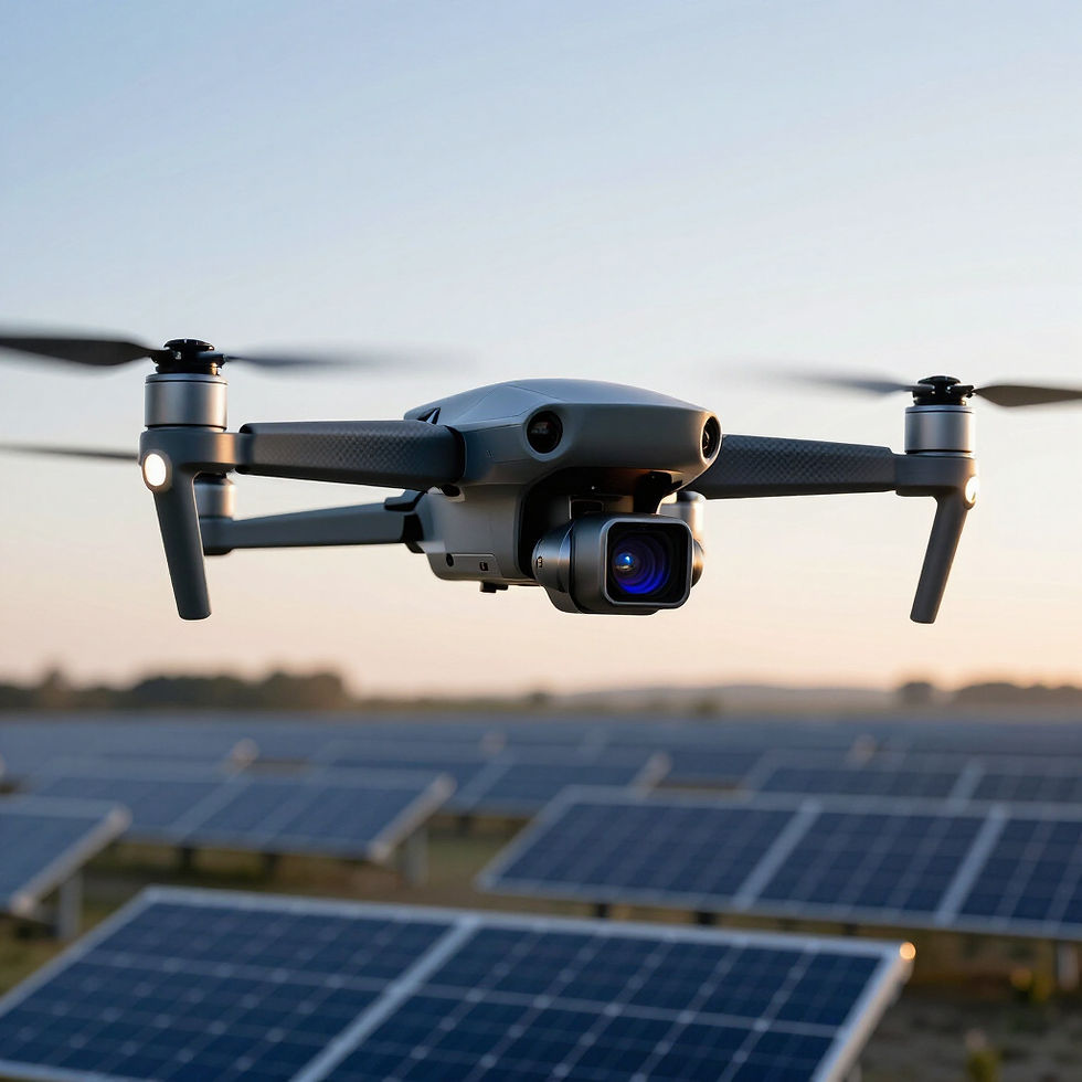
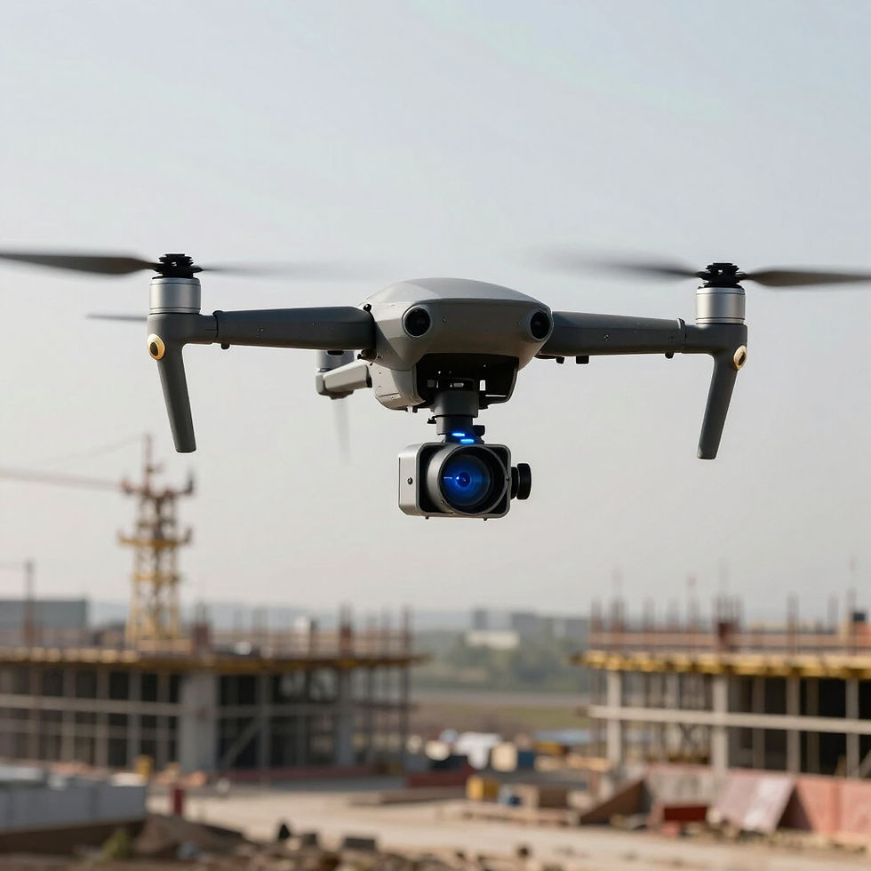
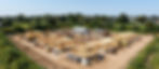
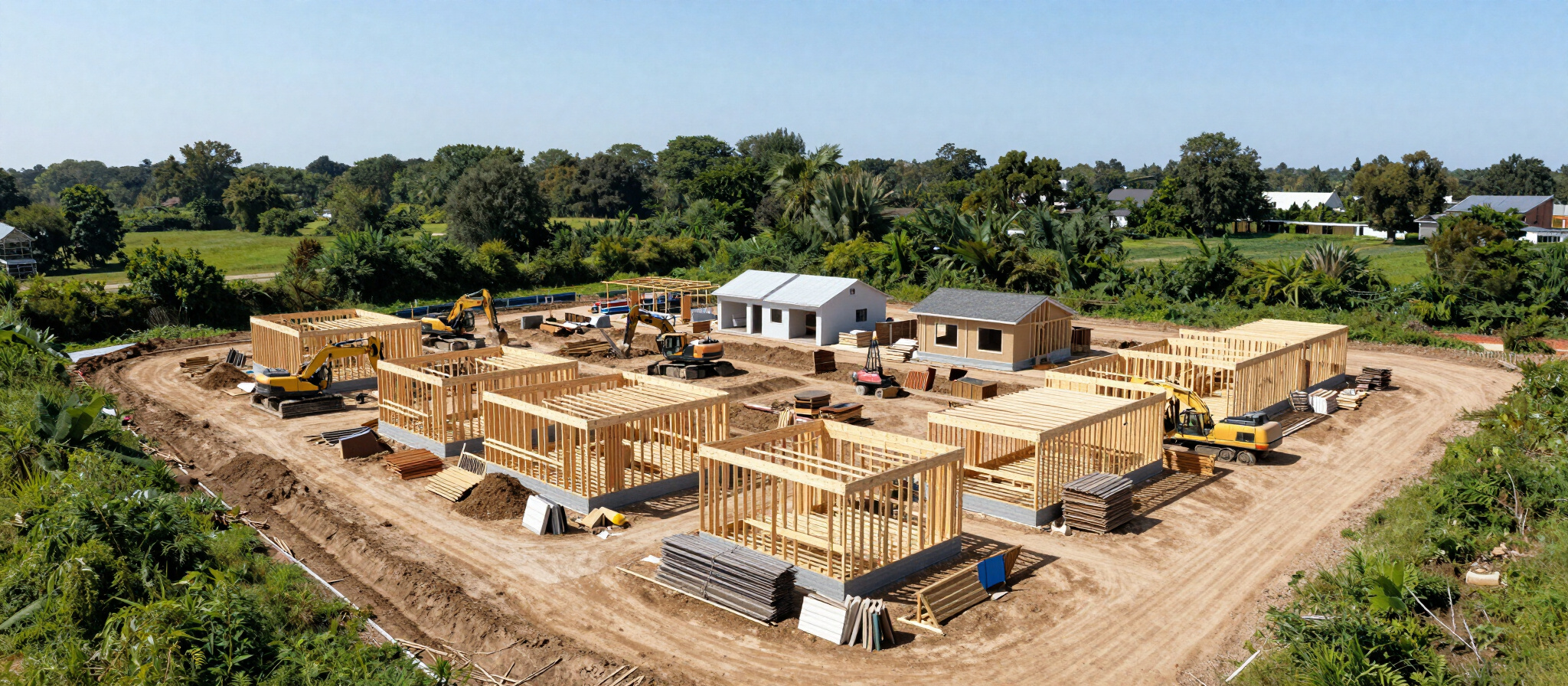
3D Modeling & Digital Twin
High-resolution aerial mapping turned into accurate 3D models and digital twins for property, construction, and asset tracking.
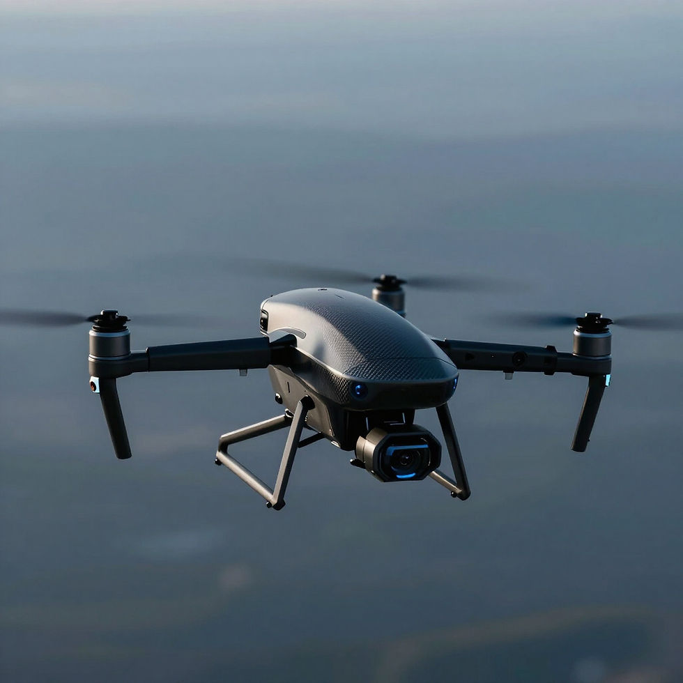
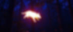
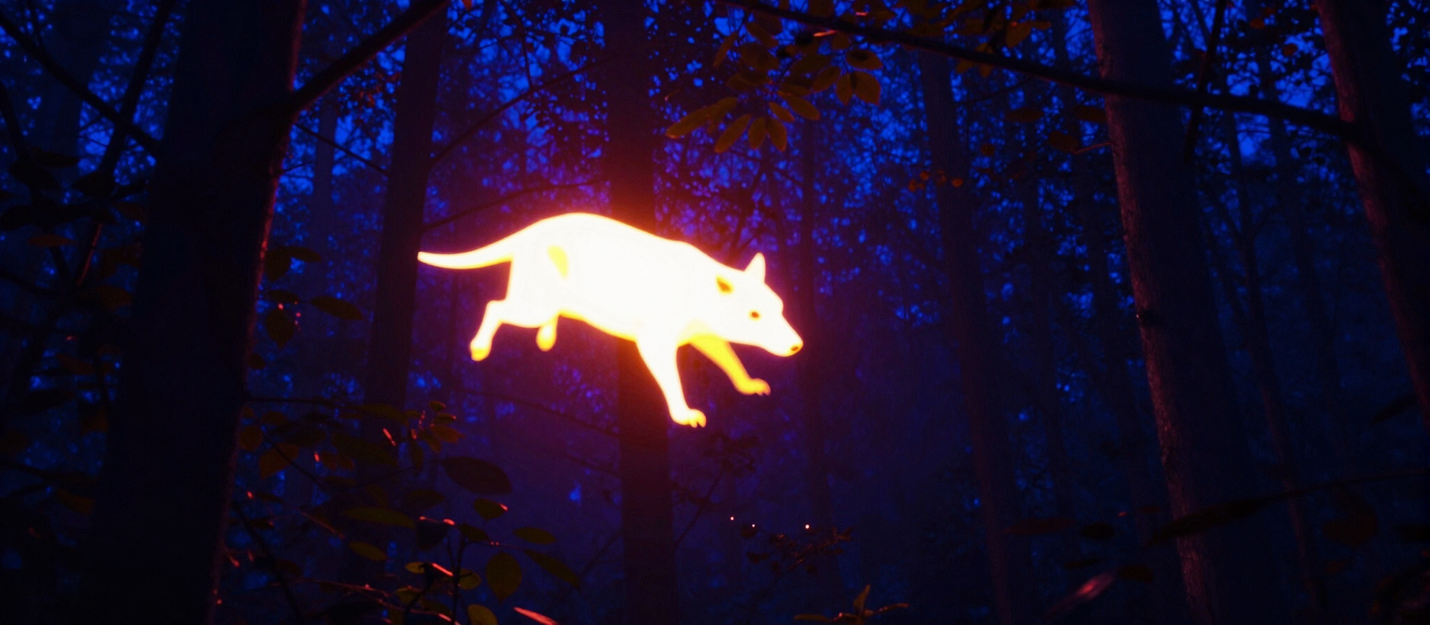
Thermal Pet & Deer Recovery
Thermal-camera search flights to help locate lost pets or recover downed deer quickly, day or night.
Roof & Home Inspections
Thermal and visual roof inspections that spot leaks, missing shingles, and insulation gaps without a ladder.
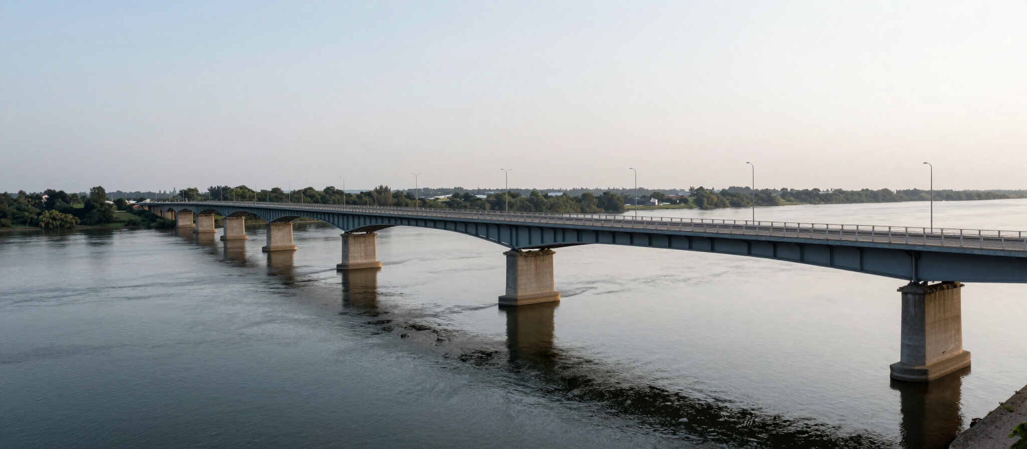
Example Flights
FAA Part 107 Certified Pilot
- KY · OH · WV Service Area
GET IN TOUCH
Reach out by phone or email, or follow along on Facebook.
Contact Details
Phone: (740) 237-7040
Email: pgpreece1@gmail.com
Service Area: Tri-State Area (KY · OH · WV)
Facebook
bottom of page